Kusong testing ground
Inland missile test area used for Hwasong-12 and other launches.
Open on the intel map Read more
Satellite watch
Captured 11 Oct 2026Our own images of this 5.1 km square from the European Copernicus Sentinel-2 satellites: the newest clear picture, and the clearest one from each of the last 24 months. One pixel is 10 m, enough to see roads, fields, ponds and large buildings, not people.
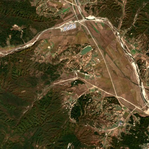
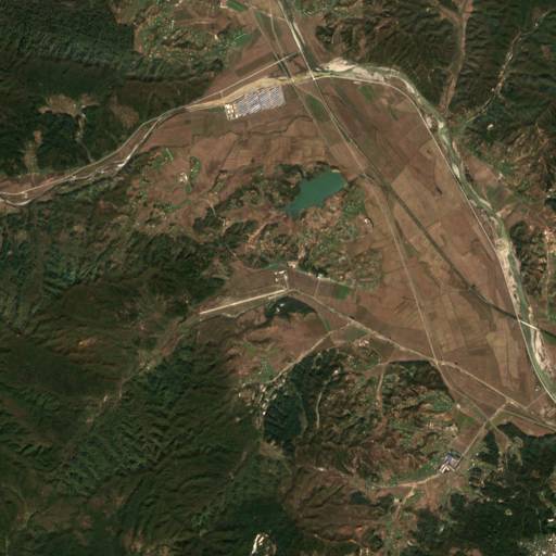
Pick a month to compare with the latest image
We pick each image by measuring cloud inside this square from the satellite’s own scene classification. Months with no clear image are left out. We do not mark or interpret anything in the pictures. The ring marks the point on our map.
Contains modified Copernicus Sentinel data 2024-2026 · Copernicus Data Space · Sentinel-2 L2A COGs (AWS)
More missile & space sites
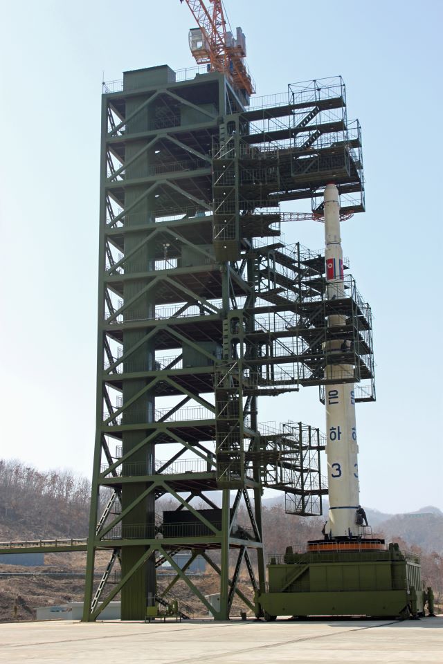 Missile & spaceSohae Satellite Launching Station
Main space launch site, also used for rocket engine tests. Launched the Malligyong-1 spy satellite in 2023.
© Esri, Maxar Missile & spaceTonghae Satellite Launching Ground
East coast launch site used for early long-range rocket tests (1998, 2006, 2009).
© Esri, Maxar Missile & spaceSinpo shipyard
Submarine base and shipyard where submarine-launched ballistic missiles (Pukguksong) are built and tested.
© Esri, Maxar Missile & spaceSunan (Pyongyang airport)
Pyongyang’s international airport doubles as an ICBM launch pad. Several Hwasong-15 and -17 shots were fired from here.