主要设施 · 导弹与航天

导弹与航天

Sohae Satellite Launching Station

主要航天发射场,也用于火箭发动机试验。2023年发射了侦察卫星万里镜-1号。

运转中,仍在扩建状态
JagangKangwonNampoNorth HamgyongNorth HwanghaeNorth PyonganPyongyangRyanggangSouth HamgyongSouth HwanghaeSouth PyonganTonghae Satellite Launching GroundSinpo shipyardKusong testing groundSunan (Pyongyang airport)Sinpung-dong Missile Operating BaseYongnim Missile Operating BaseHoejung-ni Missile Operating BaseYusang-ni Missile Operating BaseKal-gol Missile Operating BaseKumchon-ni Missile Operating BaseSangnam-ni Missile Operating BaseSino-ri Missile Operating BaseSakkanmol Missile Operating Base
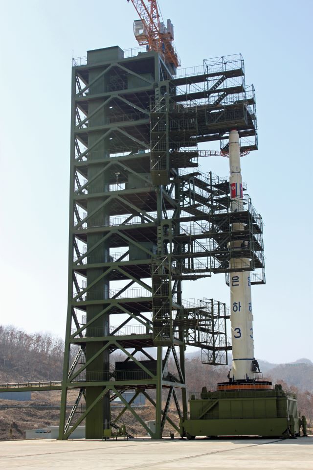
Sohae Satellite Launching Station
Photo via Wikimedia Commons
Sohae Satellite Launching Station · 39.6600°N, 124.7050°EGoogle Maps ↗ · Imagery © Esri, Maxar, Earthstar Geographics

在情报地图上打开 继续阅读

卫星观察

拍摄于 2026年10月11日

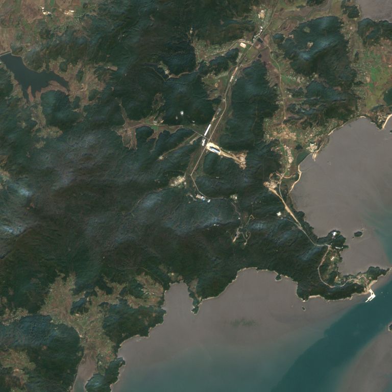
这是我们用欧洲哥白尼计划哨兵2号卫星数据自己制作的这片7.7公里见方区域的图像:最新的一张晴空图像,以及过去24个月中每个月最清晰的一张。每个像素为10米,能看清道路、农田、水塘和大型建筑,但看不到人。
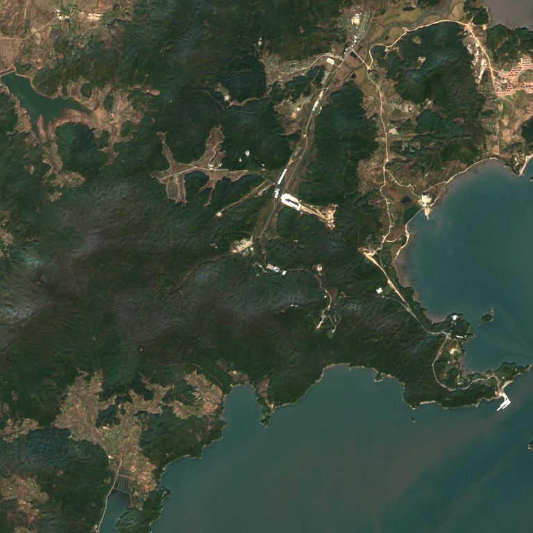
Sohae Satellite Launching Station的哨兵2号卫星图像,宽7.7公里,拍摄于2026年10月11日
Sohae Satellite Launching Station的哨兵2号卫星图像,宽7.7公里,拍摄于2025年10月16日
2025年10月16日2026年10月11日
之前: 2025年10月16日该区域云量:0%场景 S2B_51SXD_20251016_0_L2A在哥白尼浏览器中打开这一天 ↗之后: 2026年10月11日该区域云量:0%场景 S2B_51SXD_20261011_0_L2A在哥白尼浏览器中打开这一天 ↗

选择一个月份与最新图像对比

我们用卫星自带的场景分类数据测量这片区域内的云量来挑选图像。没有晴空图像的月份不列出。我们没有在图像中标注或解读任何内容。 圆圈是我们地图上的位置。

Contains modified Copernicus Sentinel data 2024-2026 · 版权声明保留英文原文。 · Copernicus Data Space · Sentinel-2 L2A COGs (AWS)

来源

更多导弹与航天设施